-40%
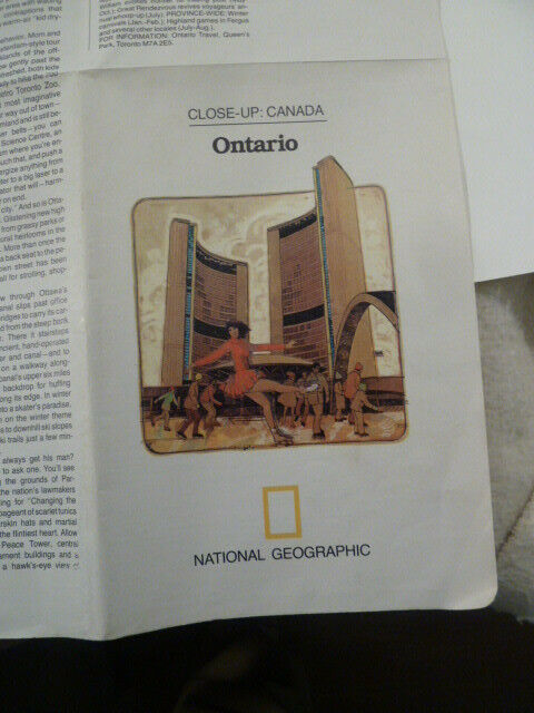
1978 National Geographic map of Ontario, Canada, with text, color illustrations
$ 2.61
- Description
- Size Guide
Description
Full-color imagesof Ice skating at Toronto City Hall, ParliamentBuilding, CN Tower, etc. 5 5/8” by 8 ¼,” unfolds to 22.5” by 33”, Reverse sidehas detailed map of Southern Ontario and descriptive text. Distance scales forkilometers and miles. Good used condition, with no tears or holes. Small corner fold on front. Shipped U.S. first-class mail.


