-40%
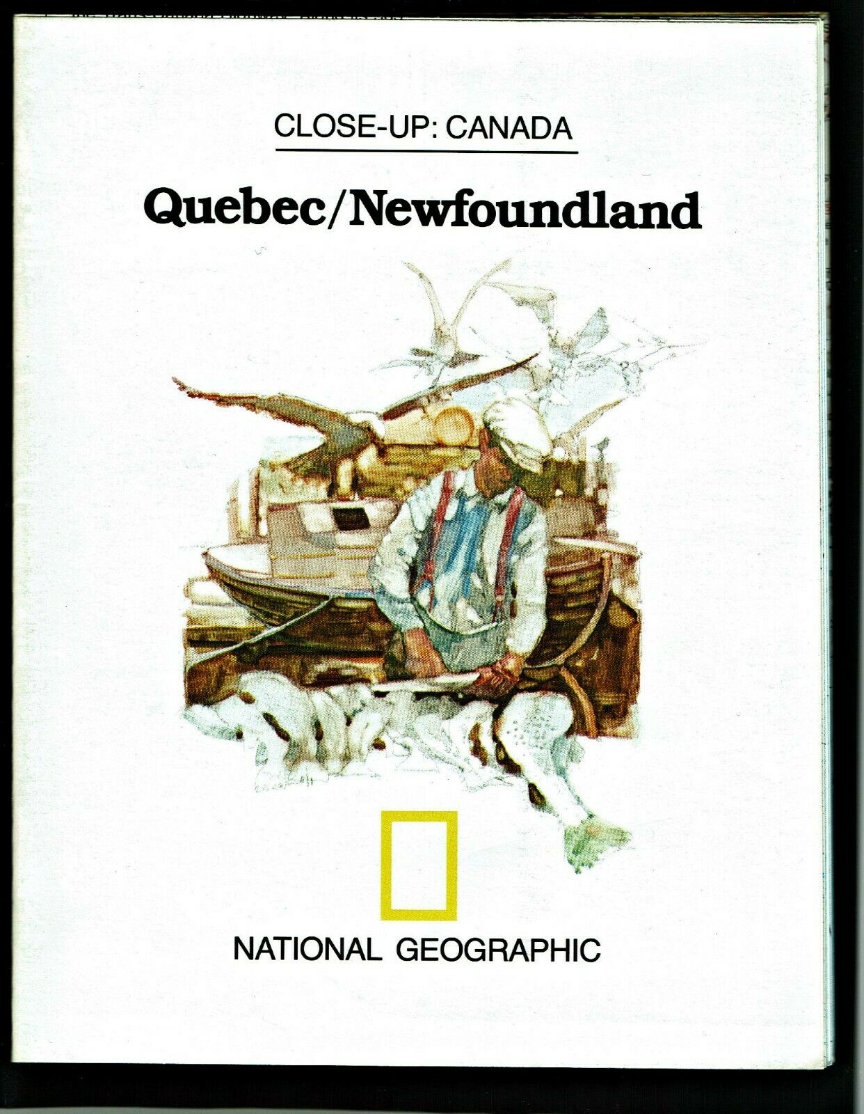
⫸ 1980-5 May Close-Up QUEBEC / NEWFOUNDLAND Canada, National Geographic Map A3
$ 1.55
- Description
- Size Guide
Description
⫸1980-5 Quebec / Newfoundland Canada - National Geographic Map School
Part of the Close-up series on Canada, dealing specifically with Quebec and Newfoundland.
The map-side contains a detailed National Geographic map of
Quebec and Newfoundland.
showing geographic features, reservations, wildlife preserves, highways, National parks and wildlife preserves, points of interest, notes of interest, and more. The map-side provides a synopsis of Quebec and Newfoundland; it's features, festivals, and points of interest for the traveler or those interested in learning. Also on this side is a map inset of Southern Quebec.
Maps in the Making Canada series are:
1991-3 Quebec,
1992-4 British Columbia,
1993-10 Atlantic Canada,
1994-12 Prairie Provinces,
1996-6 Ontario, and
1997-9 The North,
or all 6
in our Lot of Six Making Canada Series Maps.
Measures approximately 23” x 29”.
The National Geographic is known for it's fine maps & detailed information.
Supplement to the National Geographic Magazine; magazine is not included.
Always use your cart to obtain any discounts!
U.S. Shipping
- Please select:
1) USPS Mail Service or Media Mail (average delivery time) .50 for the first item and 50
¢ for each additional item.
2) USPS Package Service (faster delivery and with tracking) .00 for the first item and 50¢ for each additional item.
SAVE - MAP SALE - Select ANY 5 Maps - The lowest priced item is
FREE
- See eligible items above (top left).
x
x
x
