-40%
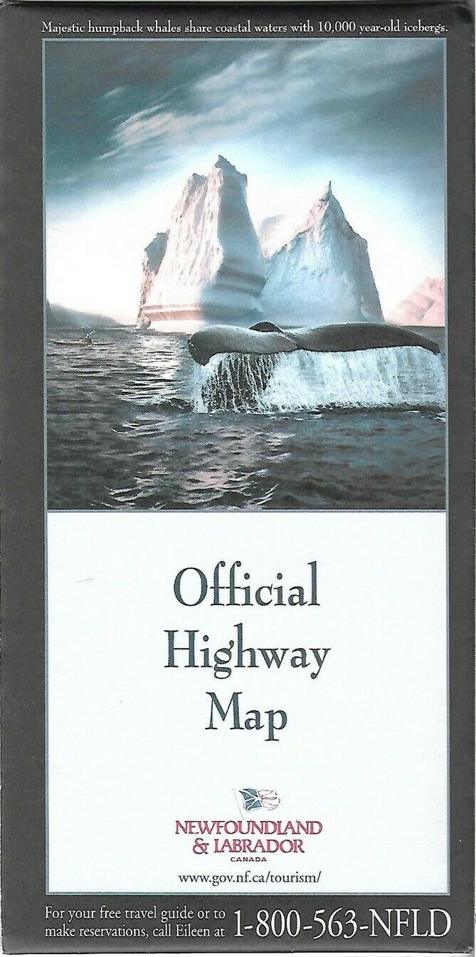
Official 2002 Highway Map NEWFOUNDLAND LABRADOR St John's Humpback Whale Iceberg
$ 4.74
- Description
- Size Guide
Description
Handsome large-format fold-out 2002 official road map of Newfoundland and Labrador.This map opens to a very generous 27" x 39" and includes inset plans of St. John's, Gander, Grand Falls-Windsor, Stephenville, the Bonavista and Avalon Peninsulas, Happy Valley-Goose Bay, Wabush, Labrador City, and Corner Brook.
The map was issued by the Newfoundland and Labrador Department of Tourism, Culture and Recreation in 2002 and is dated on the rear cover.
The front cover photograph is captioned "Majestic humpback whales share coastal waters with 10,000-year-old icebergs."
Condition:
This map is in
excellent condition,
bright and clean, with
no
marks, rips, or tears. Please see the scans and feel free to ask any questions.
Buy with confidence! We are always happy to combine shipping on the purchase of multiple items — just make sure to pay for everything at one time, not individually.
Powered by SixBit's eCommerce Solution


