-40%
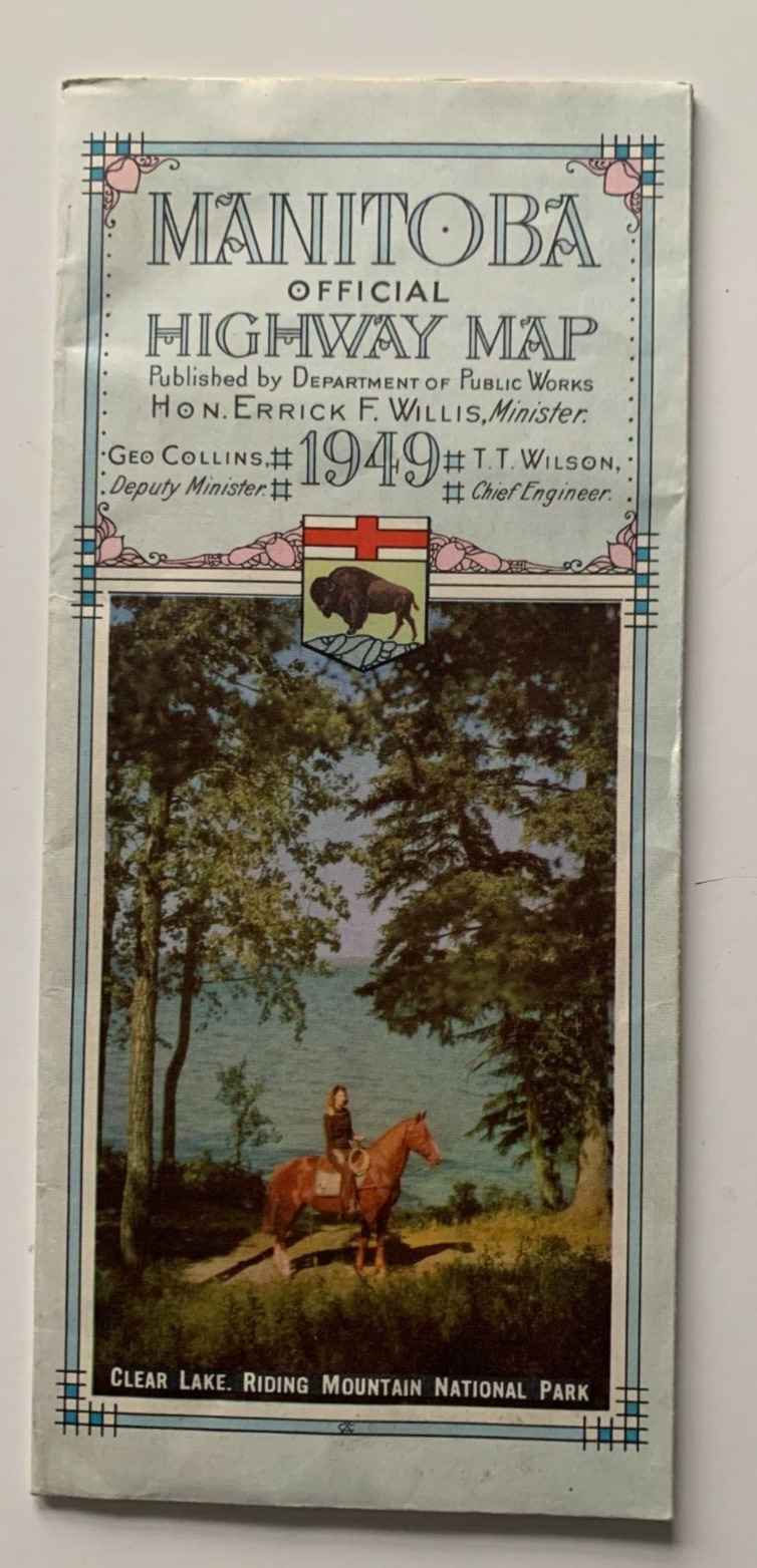
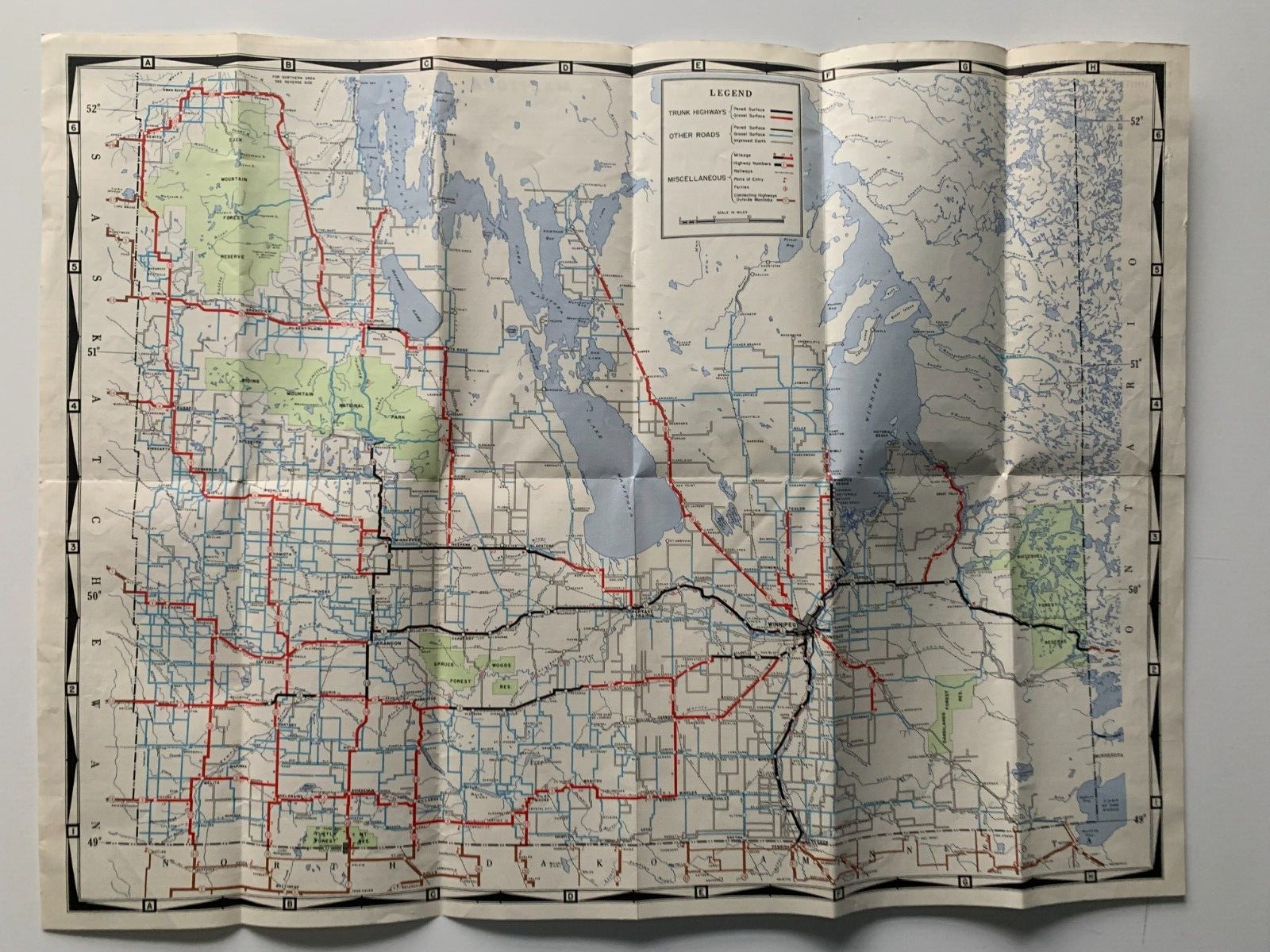
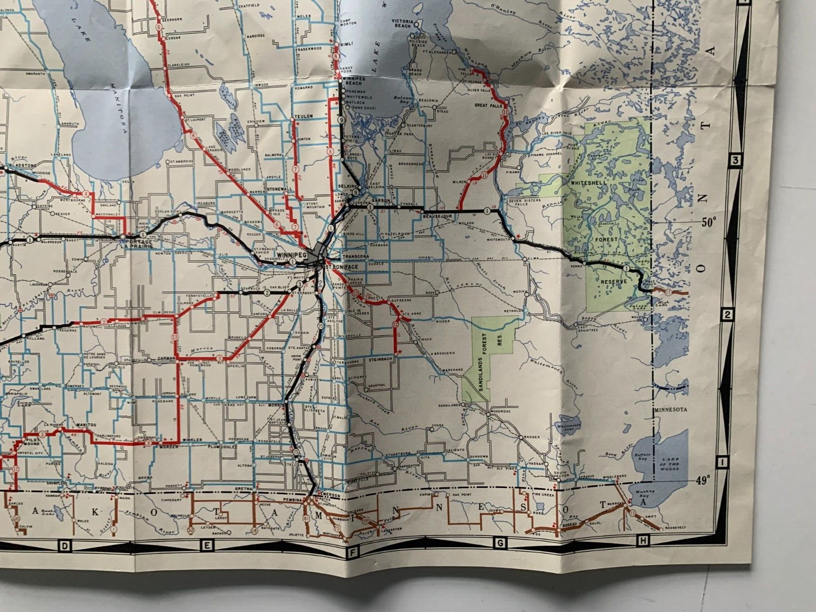
Vintage 1949 Manitoba Canada Official Highway Map road pocket Winnipeg
$ 8.44
- Description
- Size Guide
Description
1949 Manitoba Official Highway Map(Manitoba Department of Public Works, 1949; single fold-out sheet, printed on both sides; measures approximately 4.125 x 9.25 inches folded/24.75 x 18.5 inches unfolded)
Vintage 1949 Manitoba Canada highway/road map. Verso (opposite side) displays inset map of Winnipeg, inset map of the road system of the northern area of the province of Manitoba, listing of distances from various US/Canadian cities, listing of provincial trunk highways and an index of province cities, towns and villages.
Shipping via USPS Ground Advantage within 1 business day of receiving cleared payment. Each item sold is carefully packed in a cardboard box/bookfold for shipping.
Please see shipping section for multi-item shipping discount (you must use Shopping Cart function to make all purchases at the same time)
Please carefully review the international shipping charges PRIOR TO BIDDING OR INITIATING A PURCHASE. I will not ship any merchandise outside the U.S. without the required US Customs form that notes the actual sales price.
